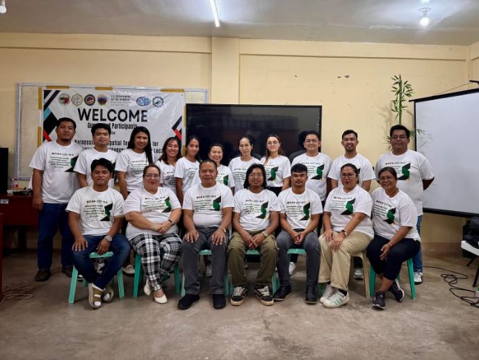
BALER, AURORA – From May 25 to 31, 2025, a training program titled 'Harnessing Geospatial Technologies for Environmental Governance: Empowering Local Government Personnel and NGOs with GIS and Remote Sensing Skills' was held at the Aurora State College of Technology School of Forestry and Environmental Science.
The program aimed to strengthen participants' technical capacities in using GIS and Remote Sensing for environmental planning, disaster risk assessment, and updating key planning documents such as the Comprehensive Land Use Plan (CLUP) and Forest Land Use Plan (FLUP).
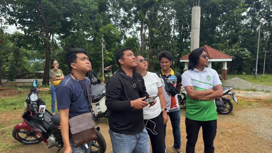
For. Michelle A. Resueño, Dean of the School of Forestry and Environmental Sciences (SFES), welcomed the participants and emphasized the training’s value in supporting LGUs with technical documentation and planning needs. Sir David Vicente Dulay, Agricultural Officer of Maria Aurora, expressed gratitude on behalf of the LGU, highlighting the training’s relevance and extending thanks to Tanggol Kalikasan. The program featured hands-on mapping exercises, drone operations, and geospatial data analysis, with participants eager to apply their new skills in governance and environmental initiatives. Attendees included representatives from the LGUs of Maria Aurora and Casiguran, and staff from Tanggol Kalikasan, as part of the Maria Aurora Area-Specific Action Plan (ASAP).
The training was facilitated by IEG–Aurora State College of Technology and implemented under the Environmental Justice Sector Reform Project 3 (EJSRP3), with support from the U.S. Department of State–INL and the U.S. Department of the Interior–International Technical Assistance Program.